Snow mapped: Where wintry showers will hit UK today with amber weather warning in place
Wintry showers expected as temperatures plunge in first cold snap of the winter
An amber weather warning has been issued for Thursday as parts of the UK are set to see as much as 25cm of snowfall this week as temperatures plunge in the first cold snap of the winter.
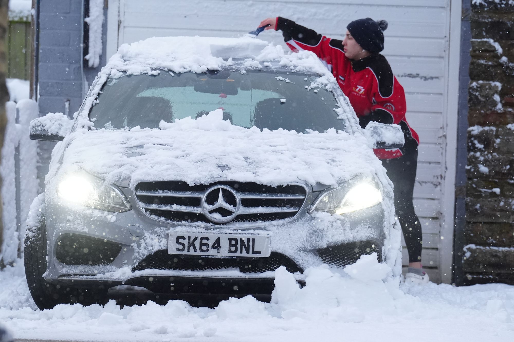
The Met Office has warned that this week will be “markedly colder” than it was last week, with “harsh frost” and snow expected on some days.
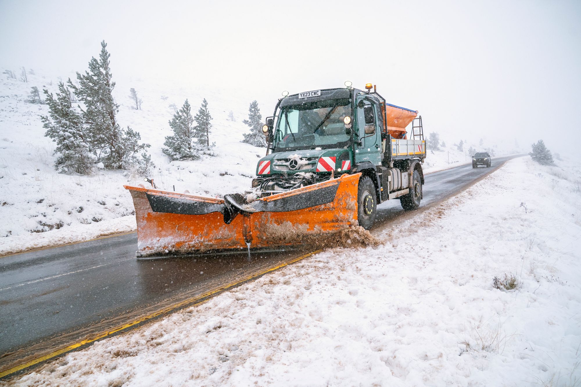
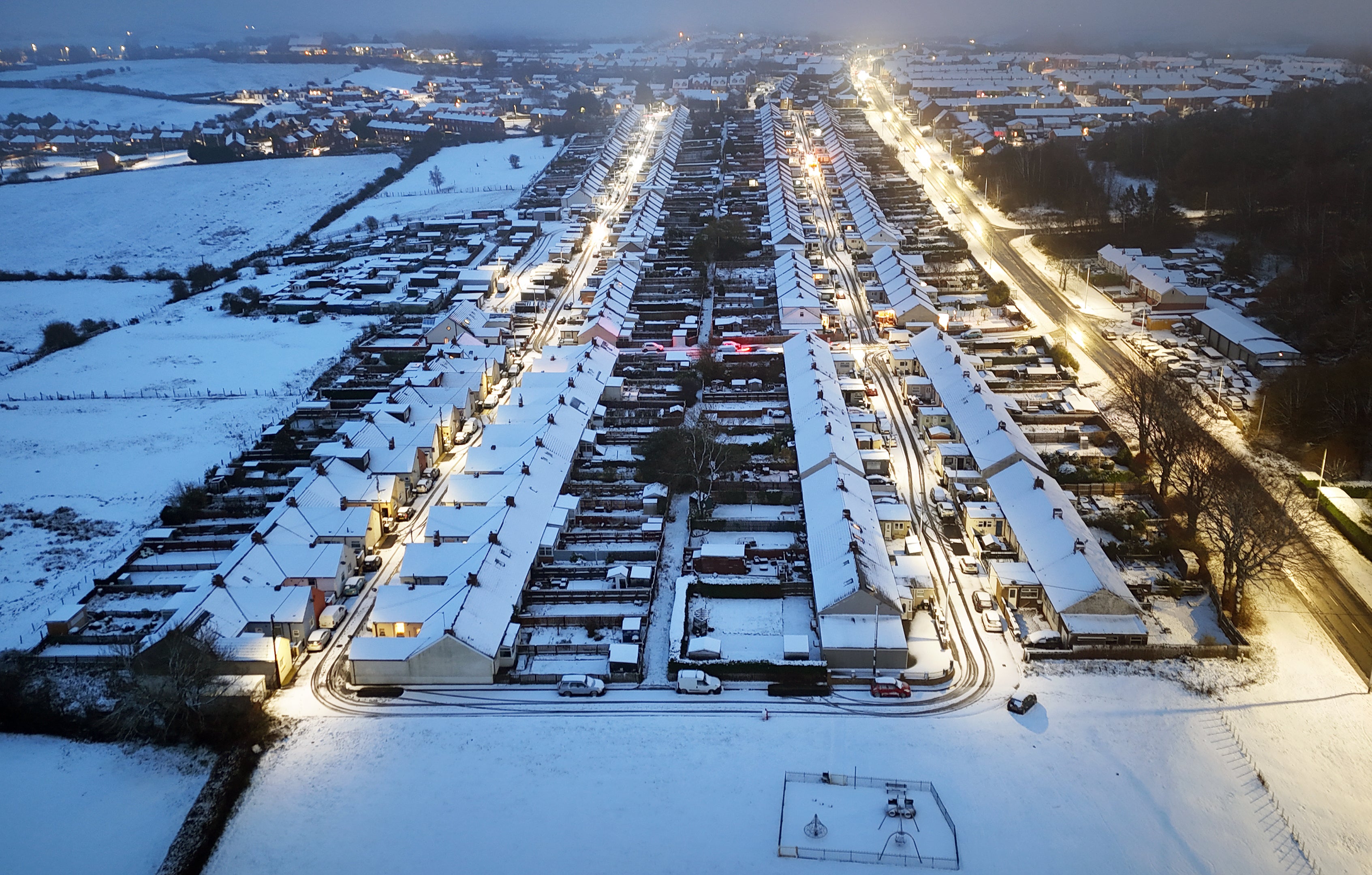
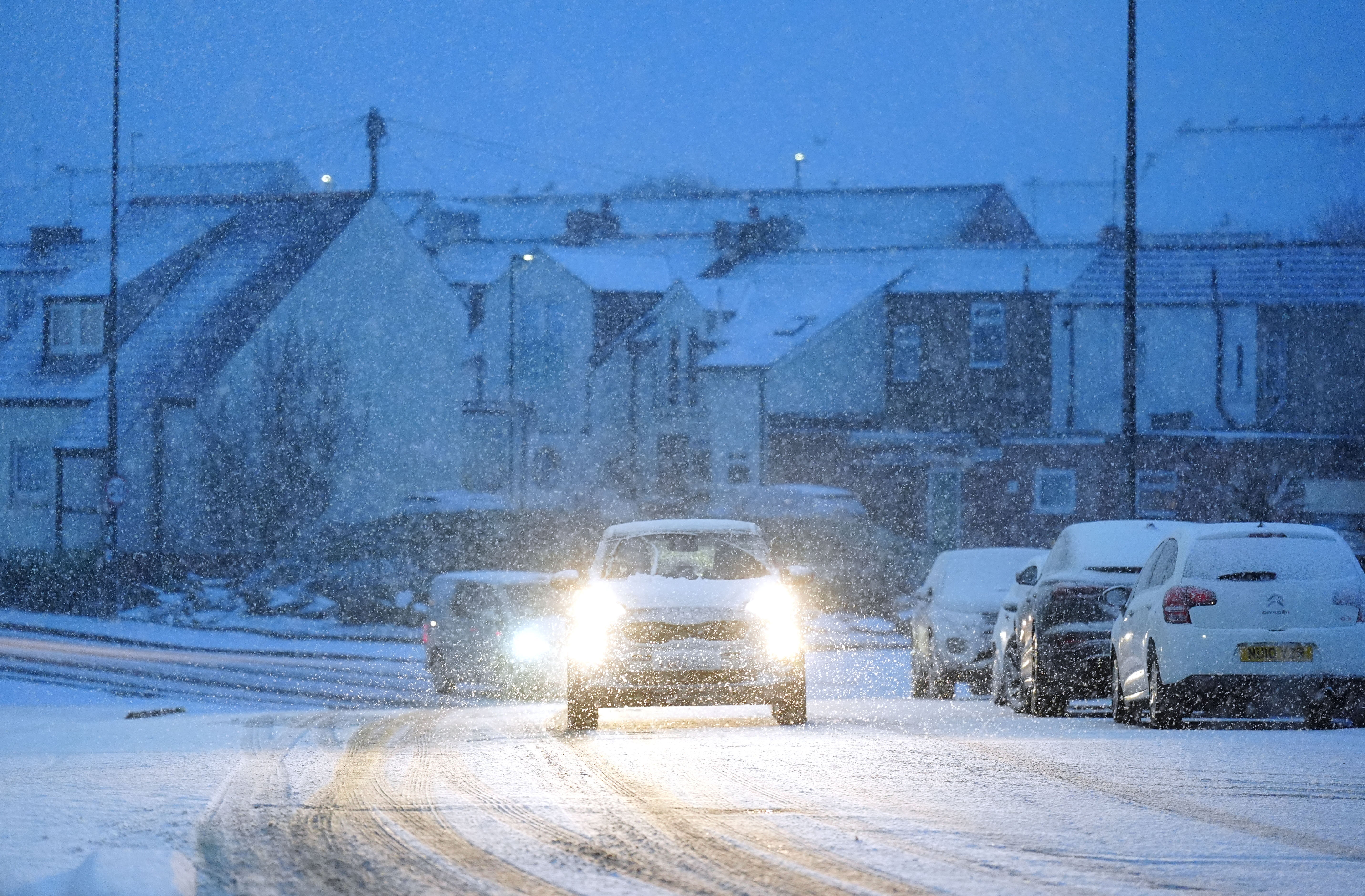
A number of warnings have been issued for snow and ice across the UK for Thursday after sleet and snow showers continued to batter UK coastal areas overnight - with the cold weather expected to continue until the weekend.
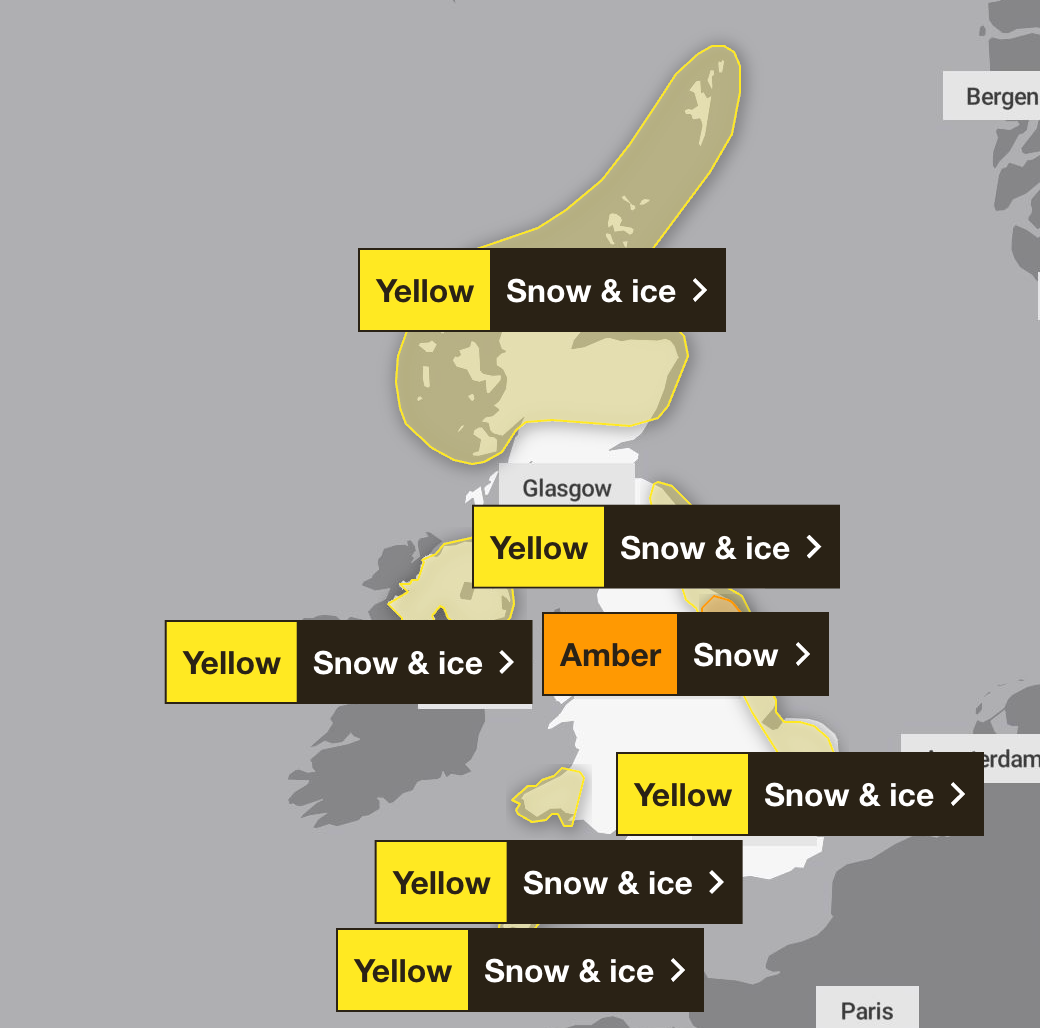
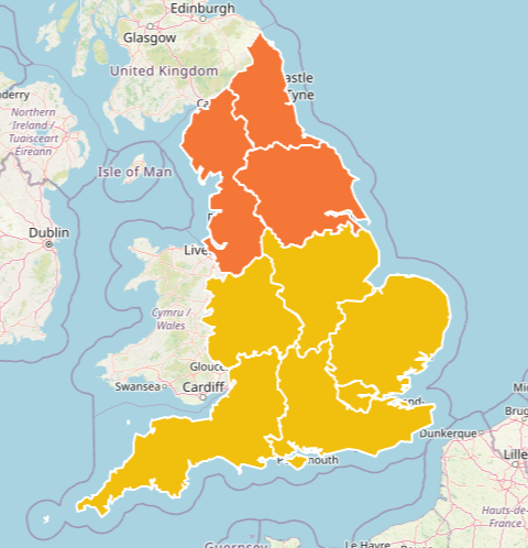
Parts of Yorkshire including York and Scarborough are subject to an amber weather warning from 5am to 9pm on Thursday. Multiple Met Office yellow warnings for ice and snow have also been issued for the coming days, covering Northern Ireland, parts of Wales, northern and south-westerly parts of England and much of Scotland.
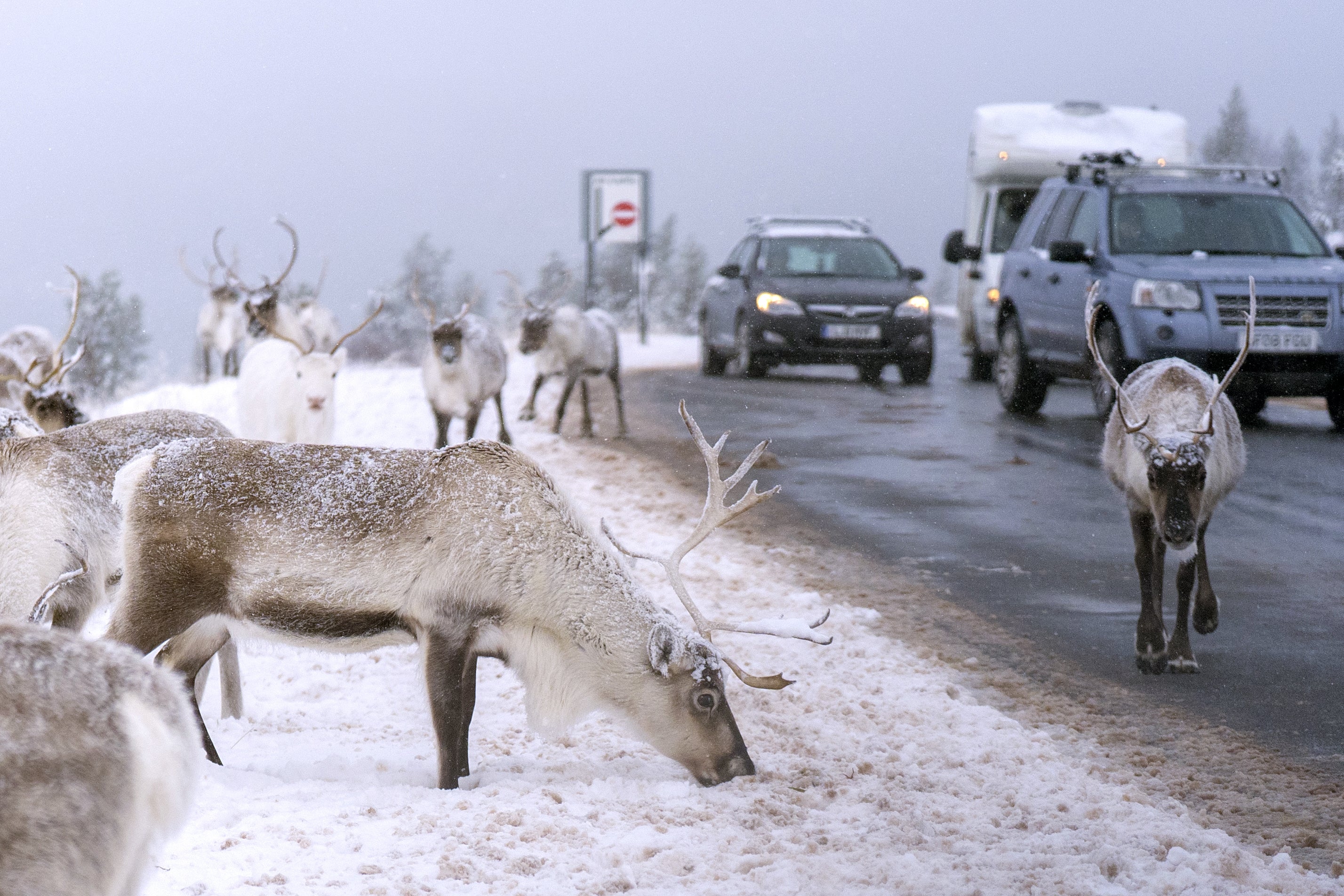
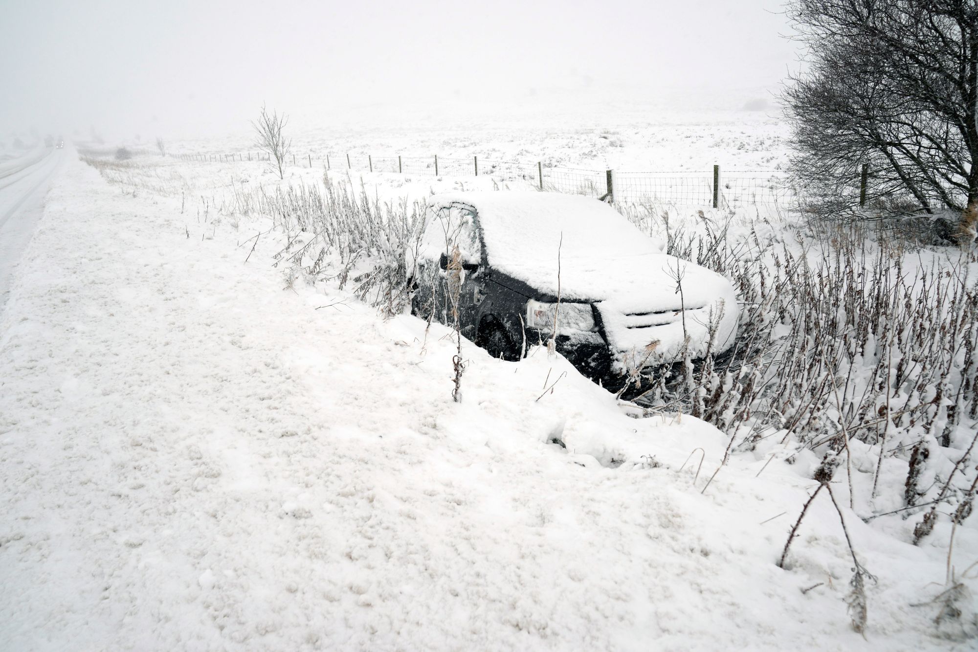
The Met Office has warned that rural communities could be cut off as gusty winds hit, creating “occasional blizzard conditions”, with the possibility of lightning a further hazard.
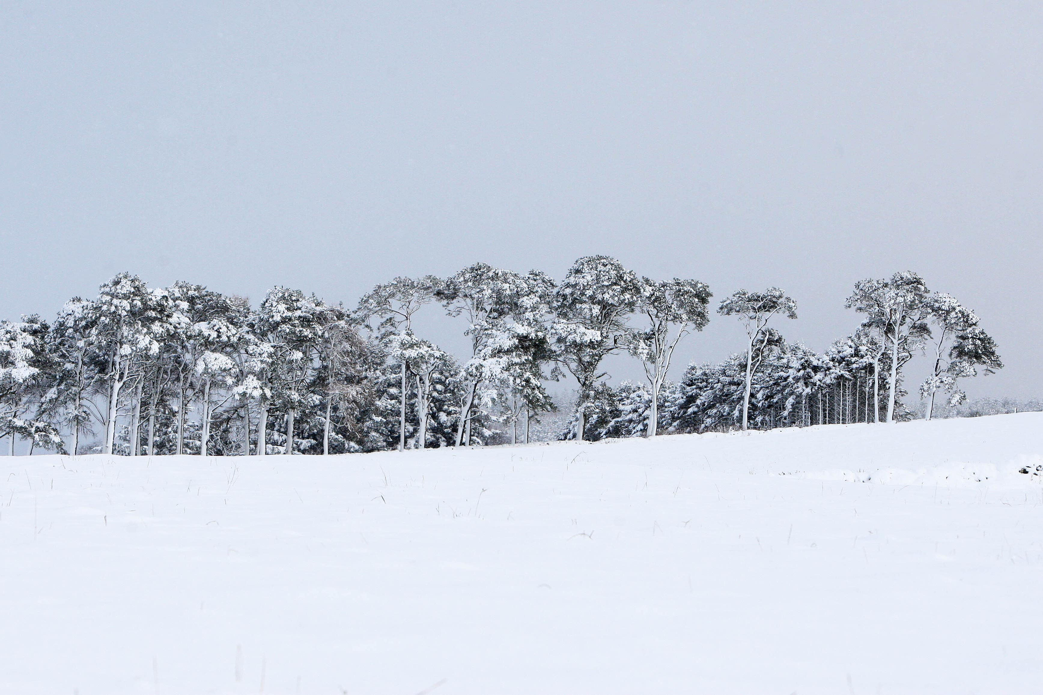
Up to 25cm of snow is expected to settle on high ground, particularly across the North York Moors as the forecaster warned some could face significant travel disruption and potential power cuts.
The weather service also said “thundersnow” – where thunderstorms form in wintry conditions and cause heavy downpours of snow – was seen in Aberdeenshire and off the coast in the north-east on Wednesday.
A spokesman said: “There is a risk we could see more today off the coast of eastern Scotland and north-east England.”
About 100 schools have closed in northern Scotland on Thursday, while in Wales, 36 are closed in Pembrokeshire, 14 in Carmarthenshire and seven in Ceredigion.
In North Yorkshire, 33 schools are closed, while eight are listed as fully closed in East Yorkshire.
Temperatures in Northern Ireland, England and Wales fell to their coldest of the season so far, with minus 6.6C recorded at RAF Benson in Oxfordshire, minus 6.4C in Sennybridge in Powys and minus 2.8C at Altnahinch Filters in Co Antrim.
Scotland’s lowest temperature recorded overnight on Wednesday was minus 6.4C in Dundreggan, Inverness.
But the coldest temperatures could still be ahead, the Met Office warned, with potential for lows of -12C in areas of lying snow in Scotland on Friday.
It comes after areas including London, Hertfordshire, Berkshire, Surrey, Essex, Shropshire and Northumberland saw snow on Wednesday, with Met Office weather stations in Lake Vyrnwy in Powys, Wales, recording 7cm of lying snow at 8am.

Yellow and amber health alerts from the UK Health Security Agency for cold weather also came into place on Monday. The amber warning is in place for the North East, North West and Yorkshire and the Humber, while a yellow alert is in place for the rest of England until 8am on Saturday.
Met Office Chief Forecaster Neil Armstrong said: “Cold Arctic air from the north is firmly in charge of the UK’s weather, bringing the first notable cold snap of this autumn and giving an early taste of winter weather.
“As a result, winter hazards are likely through the next few days, with snow and ice a particular hazard, and the coldest conditions likely on Wednesday and Thursday. Wintry showers will affect areas exposed to the brisk northerly wind, in particular Northern Ireland, southwest Wales, southwest England, northeast England and across the northern half of Scotland.
“Whilst not all places will see lying snow, where showers are most frequent accumulations of 2-5 cm will be possible. On higher ground in Scotland, 15-20 cm could accumulate, and potentially as much as 15-25 cm over the North York Moors and Yorkshire Wolds.”
Deputy Chief Forecaster Tom Crabtree explained: “Wednesday to Friday will be the coldest part of the week, and this period has the greatest potential for impactful weather, with multiple warnings in place.
“Overnight, temperatures could get down to minus ten, with a significant wind chill from the strong northerly wind making things feel even colder.
“I’m not sure how much wintry stuff we’re going to see across the southern areas, mostly just falling as rain.”
He added: “Northern parts of Scotland seeing plenty, and also down the eastern side of England and eastern Scotland as well – plenty of these rain, sleet and snow showers.”
Mr Crabtree said: “With sub-zero temperatures in the first ‘cold snap’ of the year, updates to the current warnings are possible, so its important people keep up to date with the forecast.”
Join our commenting forum
Join thought-provoking conversations, follow other Independent readers and see their replies
Comments
Bookmark popover
Removed from bookmarks