UK weather: Chance of snow forecast with temperatures to plummet
Met Office warns conditions will turn colder towards end of the month
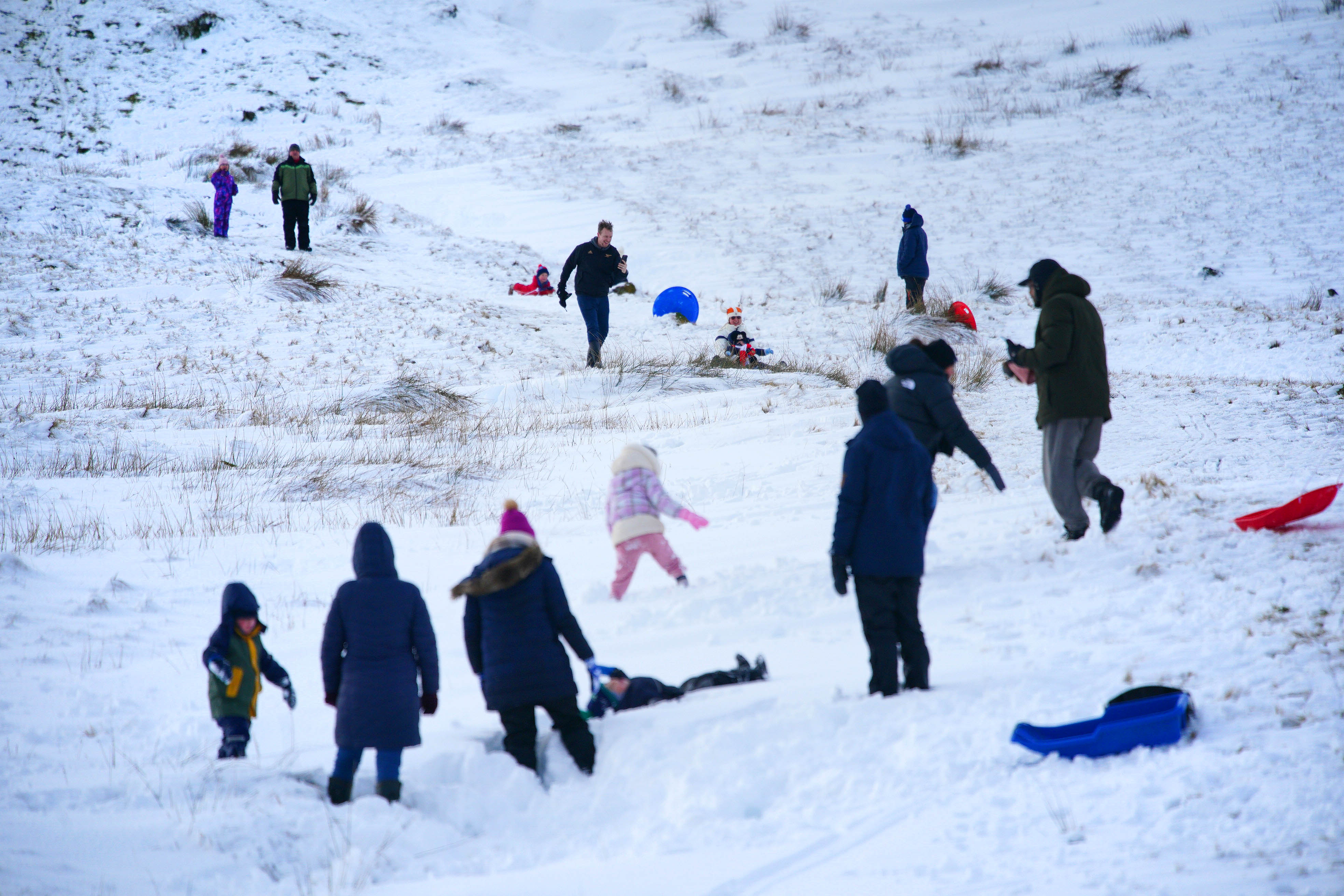
Colder temperatures could return again at the end of the month after Storm Goretti battered parts of the UK with wind, snow and heavy rain.
There is an increased chance that conditions will turn colder towards the end of the month, the Met Office said.
Storm Goretti, described as a "multi-hazard event" by the Met Office, brought gusts of almost 100mph and a rare red warning for "dangerous, stormy" winds in the southwest of England earlier this month.
The Met Office has said that as of next week, the UK will "see a battle between Atlantic weather systems attempting to arrive from the west while high pressure and colder conditions attempt to exert some influence from the east".
Initially, milder Atlantic air is expected to dominate, with cloudy, changeable conditions with showers and average temperatures, the forecaster said.
Then towards the end of the month there is an increased chance that it will turn colder, with the potential for snow.
A spokesperson said: "This aspect of the forecast is still somewhat uncertain but the potential transition to colder weather also increases the chance of snow across parts of the country."
However, the forecaster has issued no weather warnings this week, and temperatures are predicted to stay between 4C and 11C across the UK. Rainfall is expected, with the wettest weather in western parts of the country, drier in the east.
Thousands of children in northern Scotland missed several days of school last week when wintry showers caused disruption across vast stretches of the country. The Met Office issued yellow snow and ice warnings as freezing temperatures impacted Scotland.
Officials in the West Midlands warned of the “worst snowfall in a decade” as parts of England and Wales saw 15-25cm.
Temperatures have since stabilised, although this week there have been yellow rain and fog warnings across parts of England and Wales.
Met Office five-day forecast
Today:
Fog patches will slowly lift, although eastern areas are likely to remain rather dull. Elsewhere, it will be a day of sunny spells and showers, the showers heaviest and most frequent in the west, though these should ease later. Temperatures near normal.
Tonight:
Variable amounts of cloud, with low cloud and fog becoming extensive across central and eastern parts of England. Thicker cloud will move into the south later, bringing outbreaks of rain.
Sunday:
Cloudy with extensive areas of low cloud and fog, with the fog proving stubborn to clear across eastern England. Elsewhere, outbreaks of rain will become slow-moving across western areas.
Outlook for Monday to Wednesday:
A changeable few days ahead, often cloudy with some brighter spells and showery outbreaks of rain. Overnight fog may develop, particularly in the east. Some frost possible in the north.
Join our commenting forum
Join thought-provoking conversations, follow other Independent readers and see their replies
Comments
Bookmark popover
Removed from bookmarks