The reason why the UK has faced endless downpours so far in 2026
An unsettled weather pattern is preventing rain from clearing, experts explained
Some parts of the UK have seen their average February rainfall already this month as the country continues to face heavy downpours.
The Environment Agency (EA) has issued more than 158 flood alerts and 99 flood warnings, while Met Office yellow rain warnings are also in force in parts of Scotland for Tuesday and Wednesday.
The 99 areas hit by warnings are found mostly across the south of England, around the southern Welsh border and in the East Midlands – and flooding was possible in a further 170 areas. At least 300 properties have been flooded so far, the EA estimates.
It comes after a record-breaking month of rain, which became the wettest January on record for Cornwall and County Down in Northern Ireland, according to the Met Office.
A yellow weather warning for rain was in force for much of southern Wales and England until midnight on Monday.
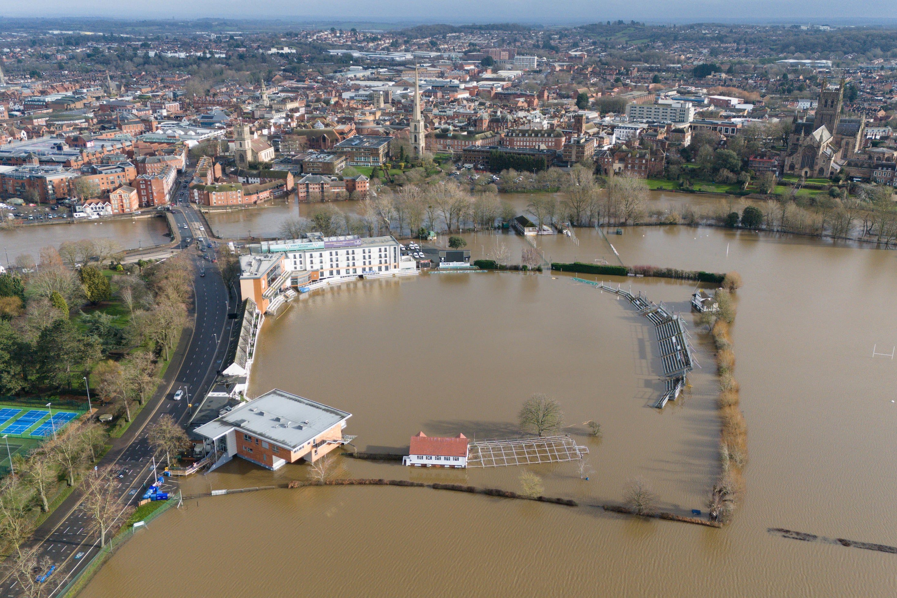
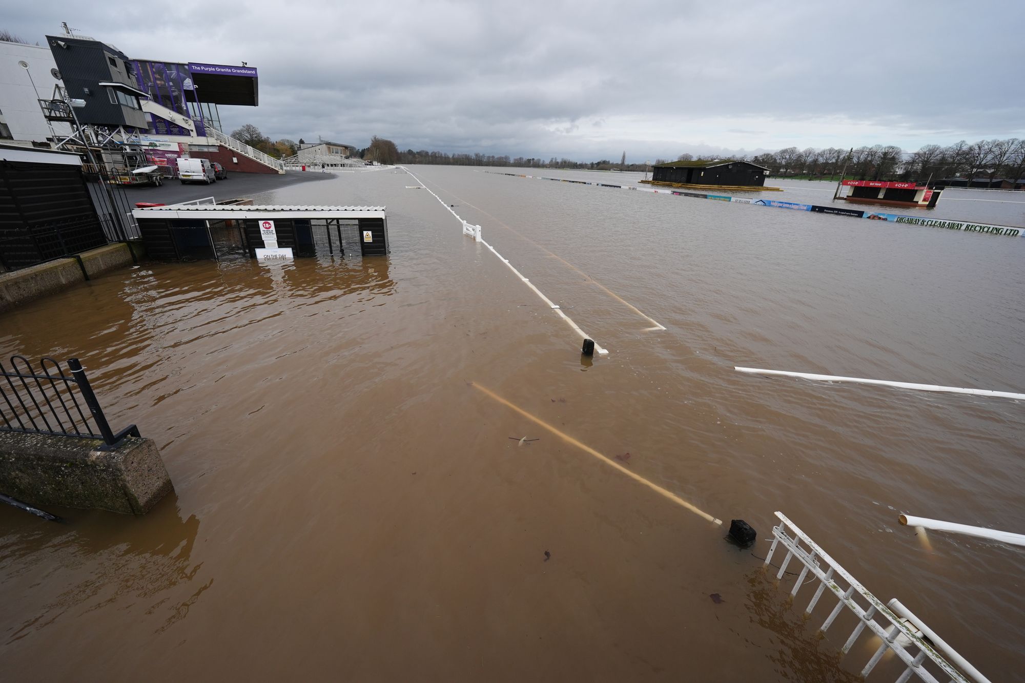
Parts of Devon, Cornwall, Worcestershire, Somerset and West Sussex have recorded more than 30 consecutive days of rain, while North Wyke in Devon, Cardinham in Cornwall, and Astwood Bank in Worcestershire have seen it rain every day of the year so far.
The seemingly ceaseless deluge of rain is due to a “blocking high” over northern Europe, preventing weather from clearing from the UK, the Met Office said.
Chief forecaster Neil Armstrong said: “The past few weeks have felt relentlessly wet, with repeated bands of rain sweeping in from the Atlantic and creating increasingly saturated ground across large parts of the UK.
“This persistent unsettled pattern has been driven by a strong, south-shifted jet stream steering low-pressure systems directly towards the UK.
“Cold plunges of air across North America have strengthened the temperature gradient across the northwest Atlantic, energising the jet, while a blocking high over northern Europe has prevented weather fronts from clearing, causing them to stall over the UK.
“The result has been continuous waves of rain, strong winds, and hill snow in parts of Scotland. Daily rainfall records have also fallen, with Plymouth, Hurn and Dunkeswell all experiencing their wettest January day in several decades and now, some areas have already seen their average February rainfall in just eight days."
Disruption and possible flooding could be seen in eastern Scotland on Tuesday, with 15 to 30mm of rain likely to fall widely and 40 to 60mm possible in places over higher ground, the Met Office said.
Andrew Hitchings, the EA’s flood duty manager, said: “With another band of rain on its way, we need the public to remain vigilant to the risk of flooding.
“As well as significant groundwater remaining likely in parts of Dorset and Wiltshire, there are risks of significant river flooding impacts on the Somerset Levels, with minor river flooding impacts expected in parts of the east Midlands and probable in Worcestershire and Gloucestershire.
“So far more than 16,000 homes and businesses have been protected but sadly 300 have suffered flooding and our thoughts are with those communities affected.
“Our teams will continue to do all they can to support local people, with pumps, temporary barriers and by clearing waterways to ensure flood water can drain away.
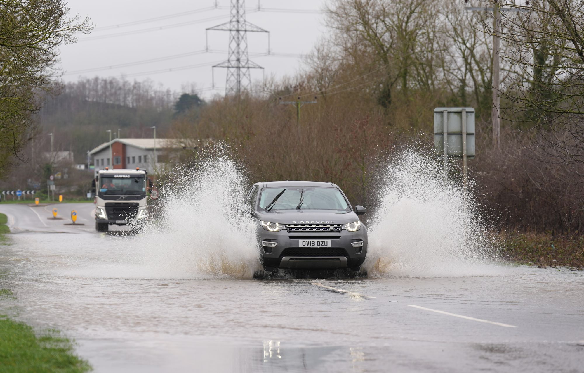
“It is extremely dangerous to drive through flood water – we urge drivers not to do so.”
Senior operational meteorologist Simon Partridge said: “The weather is set to remain unsettled throughout the remainder of the week with further spells of wet and windy weather for many areas of the UK.
“With so much rain having already fallen over parts of the UK this year, many areas are sensitive to further rainfall. Therefore, further rainfall warnings are likely as the week progresses.
“There is currently no sign of any prolonged dry weather for the next seven to 10 days.”
Join our commenting forum
Join thought-provoking conversations, follow other Independent readers and see their replies
Comments
Bookmark popover
Removed from bookmarks