Storm Benjamin: Flood alerts and travel chaos as 55mph winds to hit UK
Dozens of flood alerts spread across the country as heavy rain hits the UK
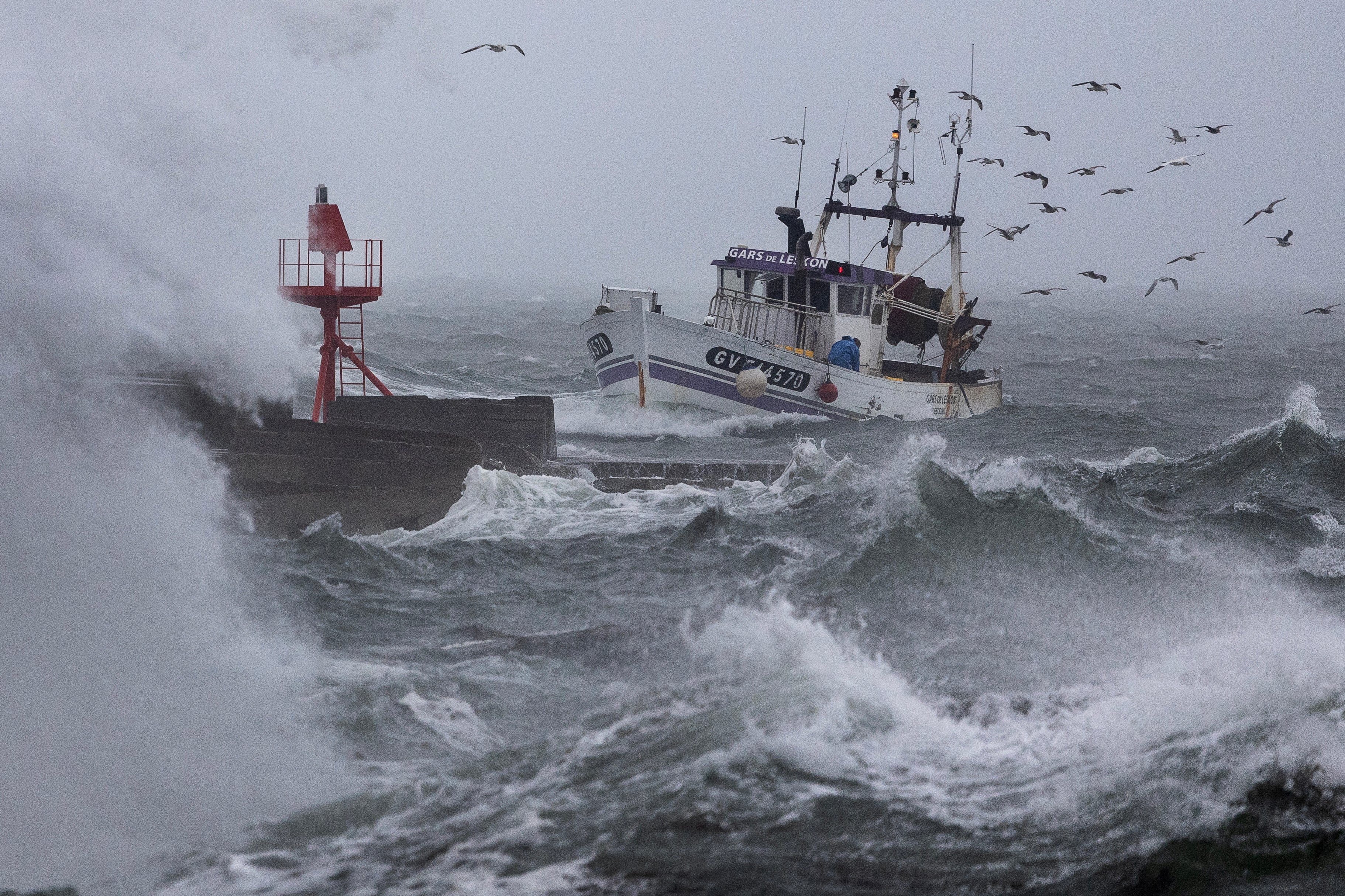
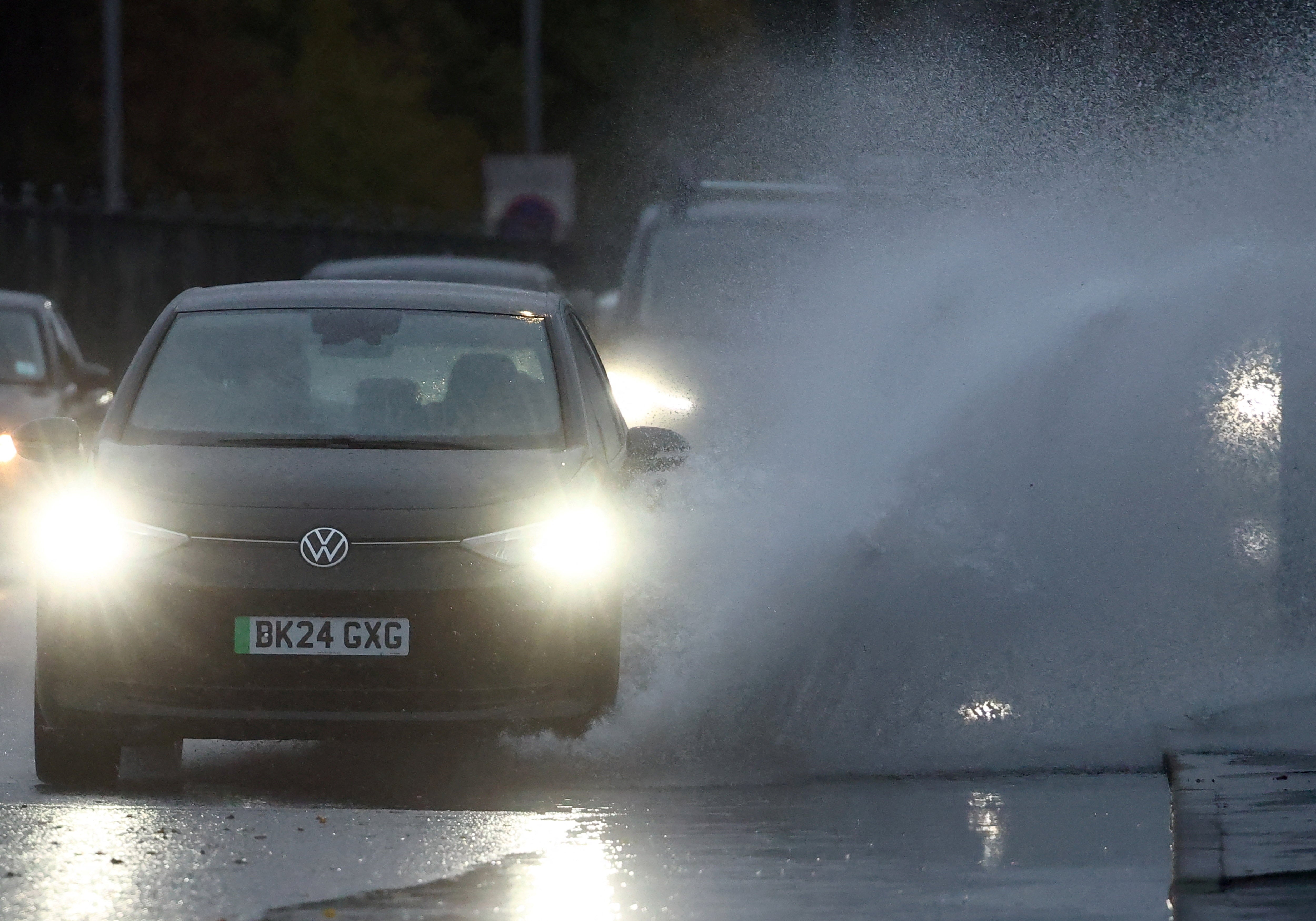
Storm Benjamin has unleashed flooding across parts of England and sparked travel disruption as heavy rain and powerful winds hit the UK.
More than 15 flood alerts remained in place across England on Thursday morning, after a further 38 were stood down. The areas affected stretch from Yorkshire down to Norfolk, along with rivers and parts of the coastline in Kent, Sussex and Somerset.
Storm-related travel delays have been reported by ferry company DFDS, which said: “All services are currently operating with delays due to strong winds in the Channel.”
They advised passengers to check in as normal and said they would be transferred to “the first available sailing on arrival”.
Storm Benjamin is still expected to develop into the afternoon across the southeast of England with gales up to 55mph possible, the Met Office said, though the storm is now starting to track away from the UK.
Earlier, the forecaster predicted winds over 70mph were expected at the height of the storm along coastal areas, warning that large waves and debris thrashing onto sea fronts, coastal roads, and properties in the blustery conditions could lead to injuries and a “danger to life”.
Deputy chief meteorologist, Chris Bulmer said: “As Storm Benjamin clears the UK and heads towards Denmark late tomorrow cold Arctic air will sweep across the country, bringing a noticeably chilly weekend as temperatures fall below average.
“Although many areas will see dry weather with sunny spells, it will feel cold in the brisk northerly winds. Showers are expected in the north and west, some of these falling as snow over Scottish mountains.”

The Met Office has updated the weather warnings, with only two remaining for Thursday.
A yellow warning for rain covers Norfolk and Suffolk until 4pm, and a wind warning remains in place for East Anglia, London and Kent. Winds are expected to remain strong along the East Anglia coast into Thursday night.
The Met Office said: “A band of rain associated with Storm Benjamin will slowly move east during Thursday but is expected to produce some heavy rain in places, particularly this morning.
“Whilst most places will only see around 10-15 mm of rain today, a few locations, particularly nearer the coast could see 20-30 mm from shorter bursts of heavy rain.”
Previously, two yellow warnings for rain covered all of southern and eastern England, parts of southern Wales, the Midlands, and stretching up towards the north west, while a yellow warning for wind had been issued for the south east until midnight.
The Surfers Against Sewage live map reported dozens of sewage discharges across the affected areas.
Chief meteorologist Rebekah Hicks said: “It is worth noting that there is a greater than usual uncertainty surrounding the track and intensity of this low-pressure system.
“The public should stay up to date with the latest forecasts and warnings as the situation evolves, with adjustments to the forecasts likely at short notice.”
Join our commenting forum
Join thought-provoking conversations, follow other Independent readers and see their replies
Comments
Bookmark popover
Removed from bookmarks