Parts of Florida see snow in unusual winter phenomenon for the Sunshine State
A small part of Florida is the Snowy State for the second year in a row
For the second consecutive year, a small section of Florida has briefly earned the moniker of the "Snowy State."
Parts of the western Florida Panhandle witnessed a rare snowfall on Sunday morning, as frigid air behind a cold front transformed the last rain showers into delicate flakes across the Sunshine State.
This unusual phenomenon is proving to be more than a once-in-a-lifetime event. Less than a year ago, on Jan. 21, 2025, some of these same areas experienced up to 8 inches (20 centimetres) of snow – an accumulation deemed the most significant for many since the late 1800s.
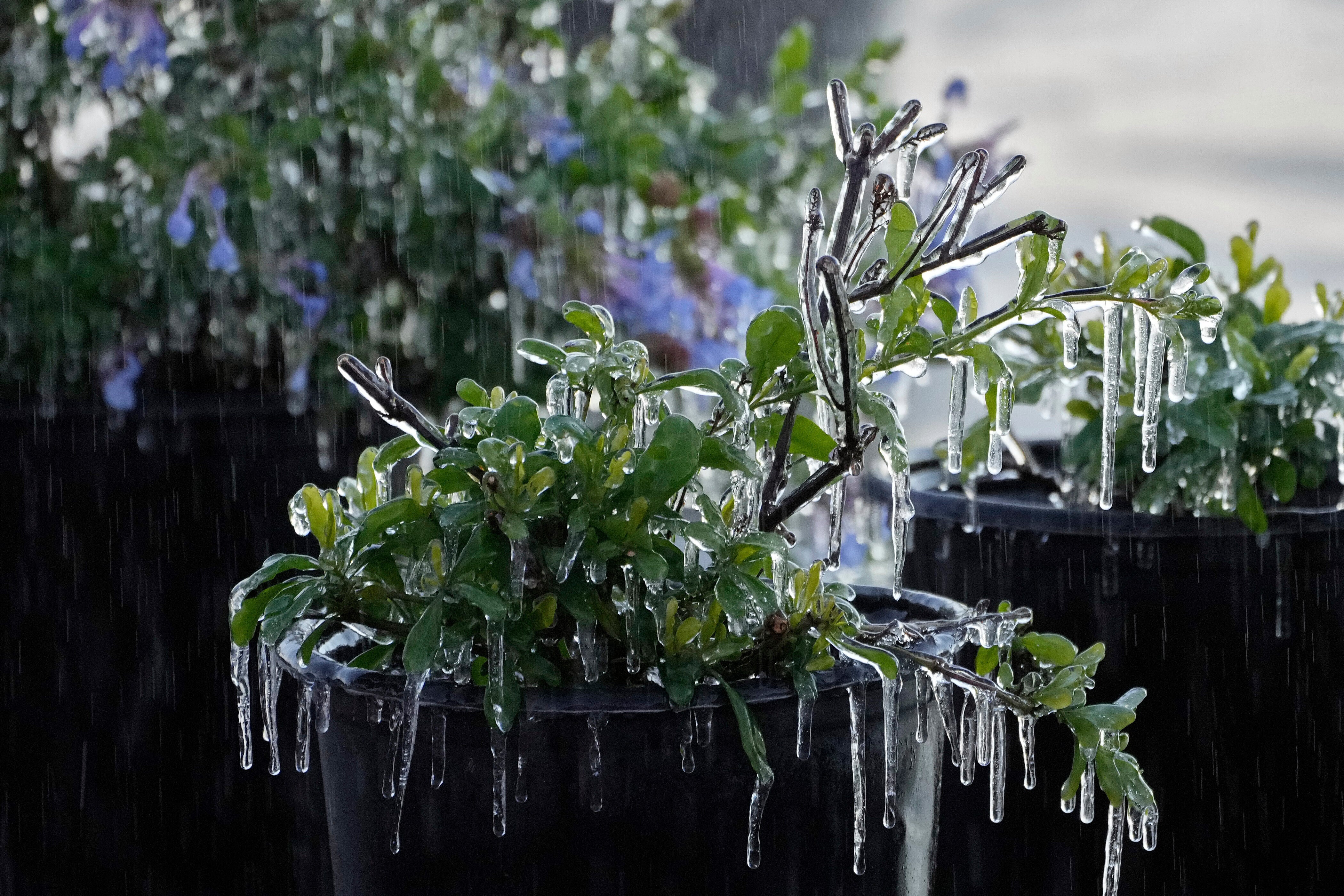
The recent dusting sparked a flurry of social media posts, capturing flakes on beaches and nestled among palm fronds. While roads remained too warm for accumulation, a temporary white blanket settled on grass before largely melting.
The rare wintry conditions were not confined to Florida alone. Southeastern Alabama and southern Georgia also reported snowfall, with these regions similarly celebrating a second "winter wonderland" in less than a year.
Snow covered the ground in cities like Columbus and Macon, Georgia, prompting officials to warn that enough might fall to make travel treacherous.
In northeastern Ohio, the National Weather Service (NWS) reported a snow squall – characterised by sudden, intense bursts of heavy snow and strong winds – was creating hazardous whiteout conditions.
These squall conditions were moving into the Cleveland metropolitan area on Saturday and are expected to track eastwards into Pennsylvania and parts of eastern New York.
The NWS warned. "Expect visibilities of less than a quarter of a mile and rapid snow accumulation on roadways. Travel will be difficult and possibly dangerous in the heavy snow."
Join our commenting forum
Join thought-provoking conversations, follow other Independent readers and see their replies
Comments
Bookmark popover
Removed from bookmarks