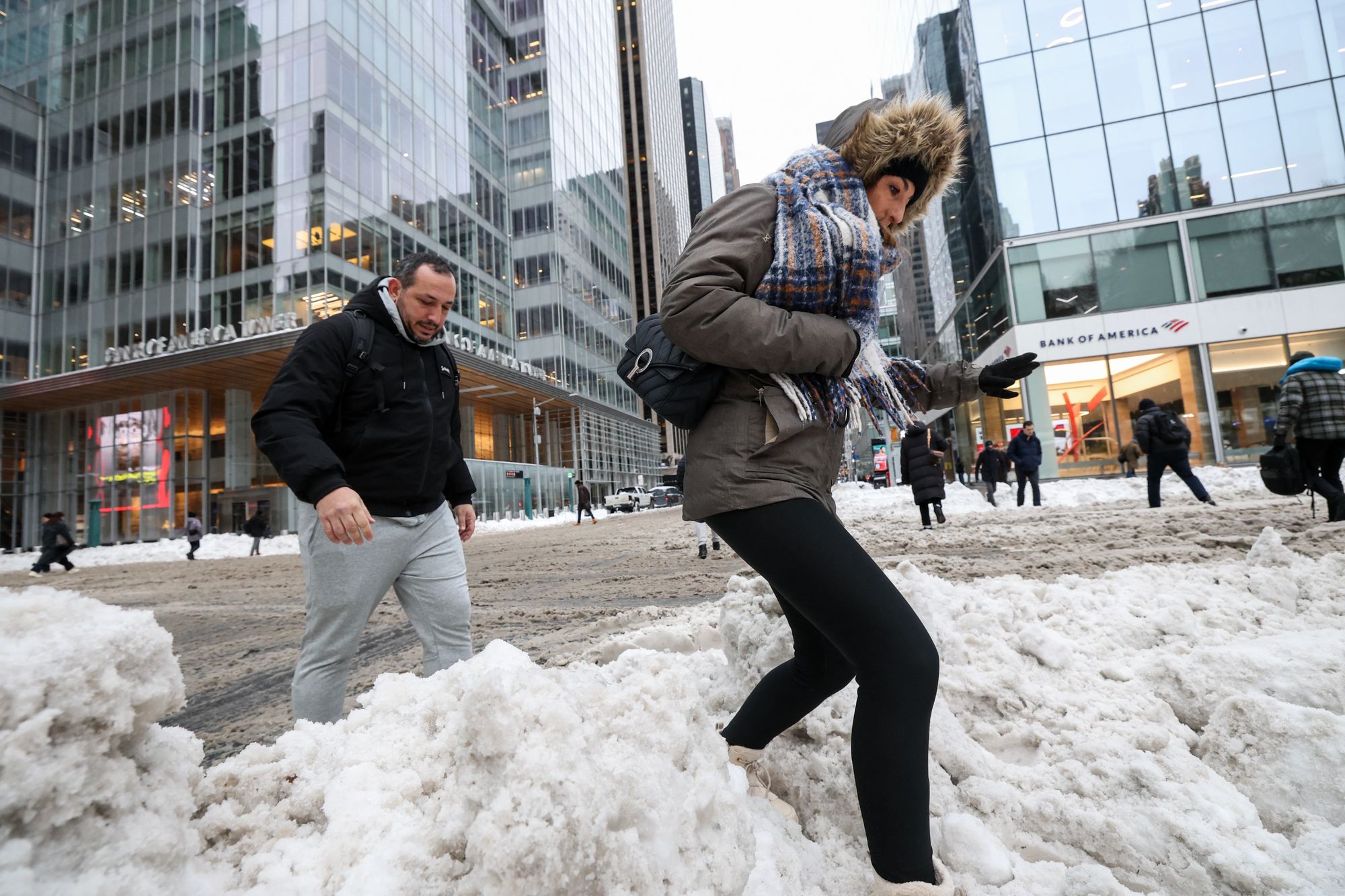
Tired of being frozen? Well, spring is nowhere in sight for these US states
Groundhog Day is coming up on Monday, when the prognosticator of all prognosticators himself will seal America’s fate
It’s been a frigid start to the year for hundreds of millions of Americans across the eastern U.S.
And while this week’s blast of wintry weather won’t last forever, forecasters say those looking for a real thaw might have to wait a while – although famed Pennsylvania groundhog Punxsutawney Phil makes his spring prediction on Monday.
In a similar pattern to last year, the media forecasting company AccuWeather forecasts a faster warm-up in western and southern states and lingering snow and frost around northern states.
“The transition to warmer spring weather will be slower across the Northeast, Great Lakes and the Pacific Northwest this year, compared to historical averages,” AccuWeather Lead Long-Range Expert Paul Pastelok explained in a statement shared with The Independent.
“Warmer springlike weather is expected to arrive early this year across much of the Southwest, from Southern California to Texas.”

The West and Southwest
Drier and warmer air is expected across the West and Southwest this spring.
Drought in the regions will expand, bringing an elevated fire risk to the Southwest and High Plains.
Right now, more than half of the 11 western states are free of drought, according to January 22 data from the U.S. Drought Monitor.
Drought worsened in northeastern Texas, which has since seen freezing temperatures snow, sleet and ice.
But, in the next couple of months, a warm-up there in through the West could be historic.
“Average spring temperatures are expected to be two to three degrees above historical averages across parts of California, Nevada, Utah, Arizona, New Mexico, Colorado, Kansas, Oklahoma and Texas,” Pastelok said.
“People may need to crank up the air conditioning earlier than normal this year, likely leading to higher power bills.”
The East and Southeast
AccuWeather predicts temperatures one to three degrees above the historical average between March and May from the Southeast and up the East Coast to Washington, D.C.
The Southeast, Southern Appalachians and mid-Atlantic may also be threatened by early-spring fire risk this year.
Last year, wildfires in the Carolinas torched thousands of acres, fueled by debris left over from Hurricane Helene.
That debris is still a threat now more than a year after the deadly storm.
“Downed trees and storm debris left behind from Helene are still a concern in the mountains of North Carolina and Tennessee,” Pastelok said. “That additional fuel on the ground can dry out quickly during warmer and breezy periods, increasing the risk for wildfires across parts of the Appalachians.”
However, fire weather isn’t all that residents need to worry about.
In Pennsylvania, there may be above historical average precipitation, as well as increasing rain and flood risk along the Gulf Coast.
“Parts of the Southeast could see elevated fire risk early in the season before rainfall becomes more consistent later in spring,” said Pastelok, noting that there is a risk for river and flash flooding across the Mississippi and Ohio valleys.
.jpeg)
The North
The North is in for a cooler start to the season than elsewhere in the U.S. – even more so than past springs.
AccuWeather shows temperatures between one and two degrees lower than the historical averages across the Great Lakes and Midwest.
And any spring warmth is expected to come more slowly in these states, the Pacific Northwest and the Northeast, with the potential for frost and flooding from rain and snowmelt.
“A slower transition to consistent spring warmth is expected from the northern Rockies through the Midwest, Great Lakes and Northeast. That opens the door for late-season snow and frost well into early spring, especially across the northern Plains and interior Northeast,” Pastelok said.
“Bitter cold pushed heating bills higher for millions of people this winter. Lingering colder air this spring could keep costs elevated.”
Join our commenting forum
Join thought-provoking conversations, follow other Independent readers and see their replies
Comments
Bookmark popover
Removed from bookmarks