UK snow in pictures: Cold weather continues after 'thundersnow' causes travel chaos
Much of northern Britain has been covered in snow and more could fall today
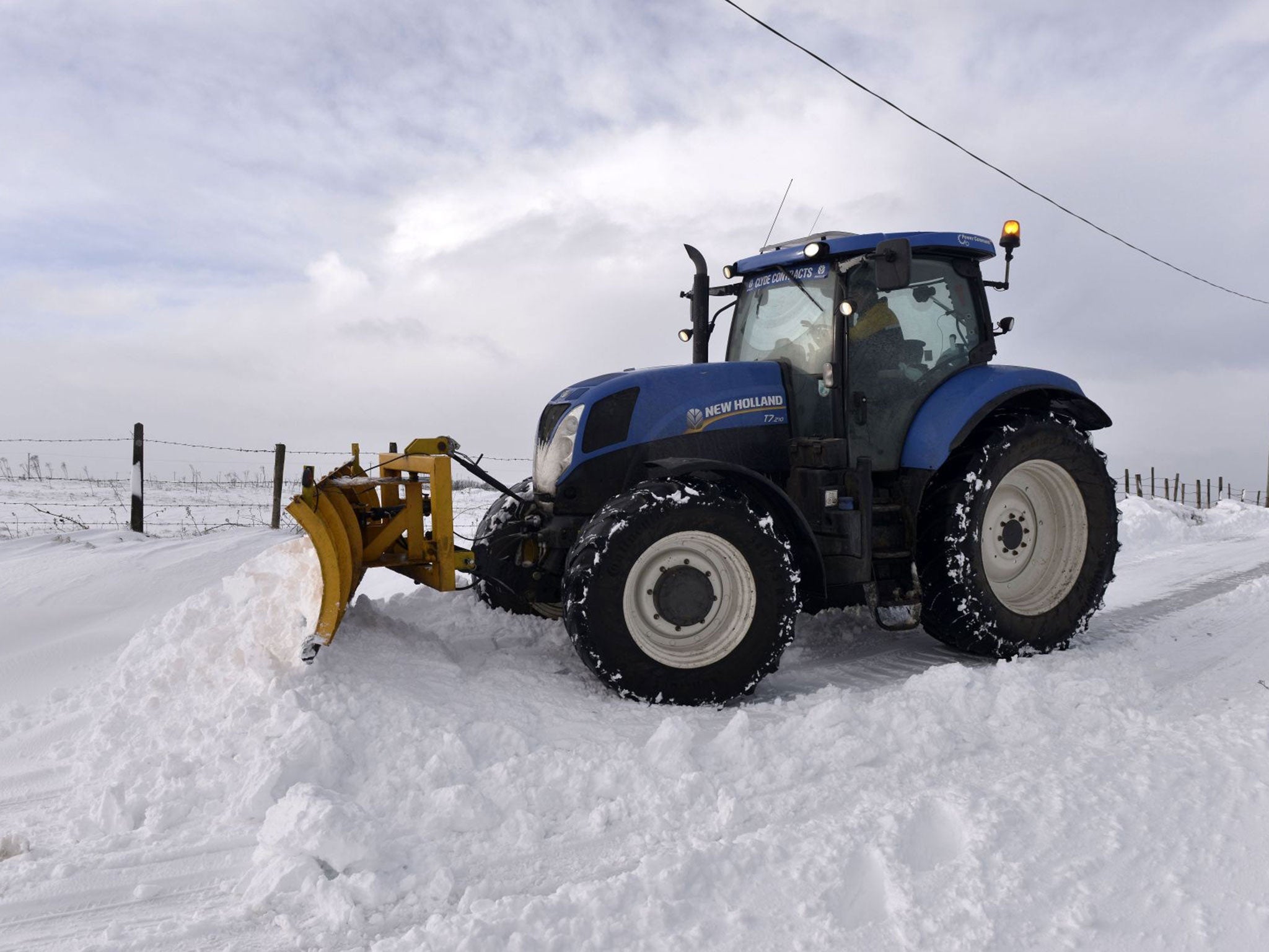
Much of northern Britain has been whited out in a deep blanket of snow causing hundreds of schools to close as motorists were stranded and flights cancelled.
The “thundersnow” that battered large parts of the UK yesterday, dumping up to 9 inches on some areas, has moved on but freezing temperatures mean the drifts will be snow to melt.
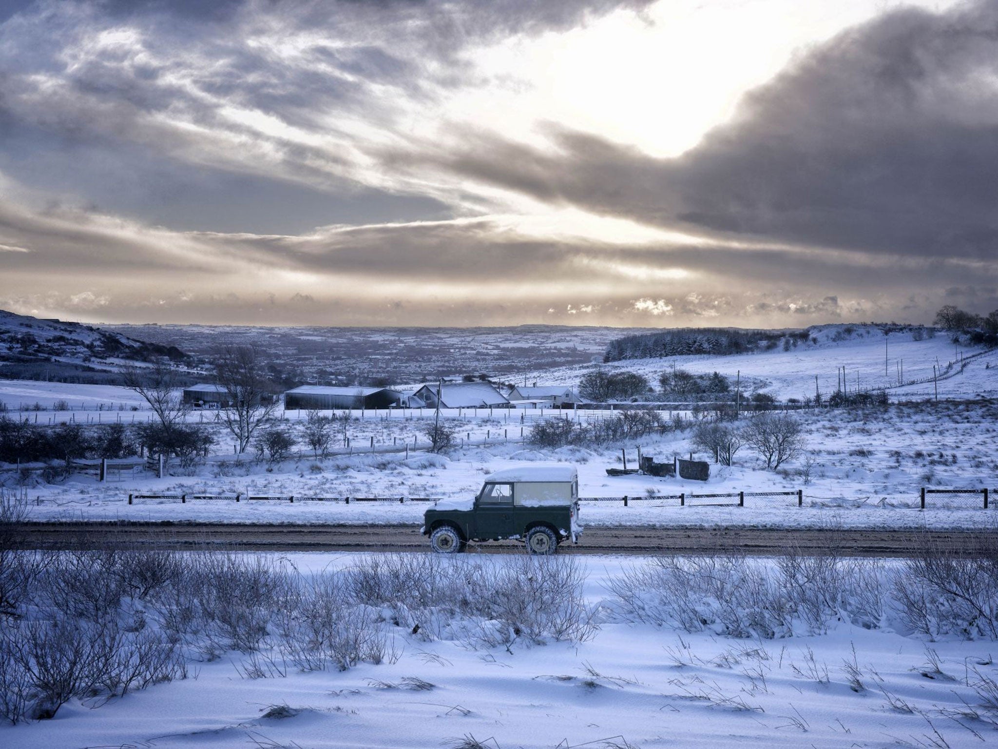
The countryside around Belfast was left looking like the Arctic tundra as icy winds whipped up snowflakes, with stranded drivers wading along the roads to safety.
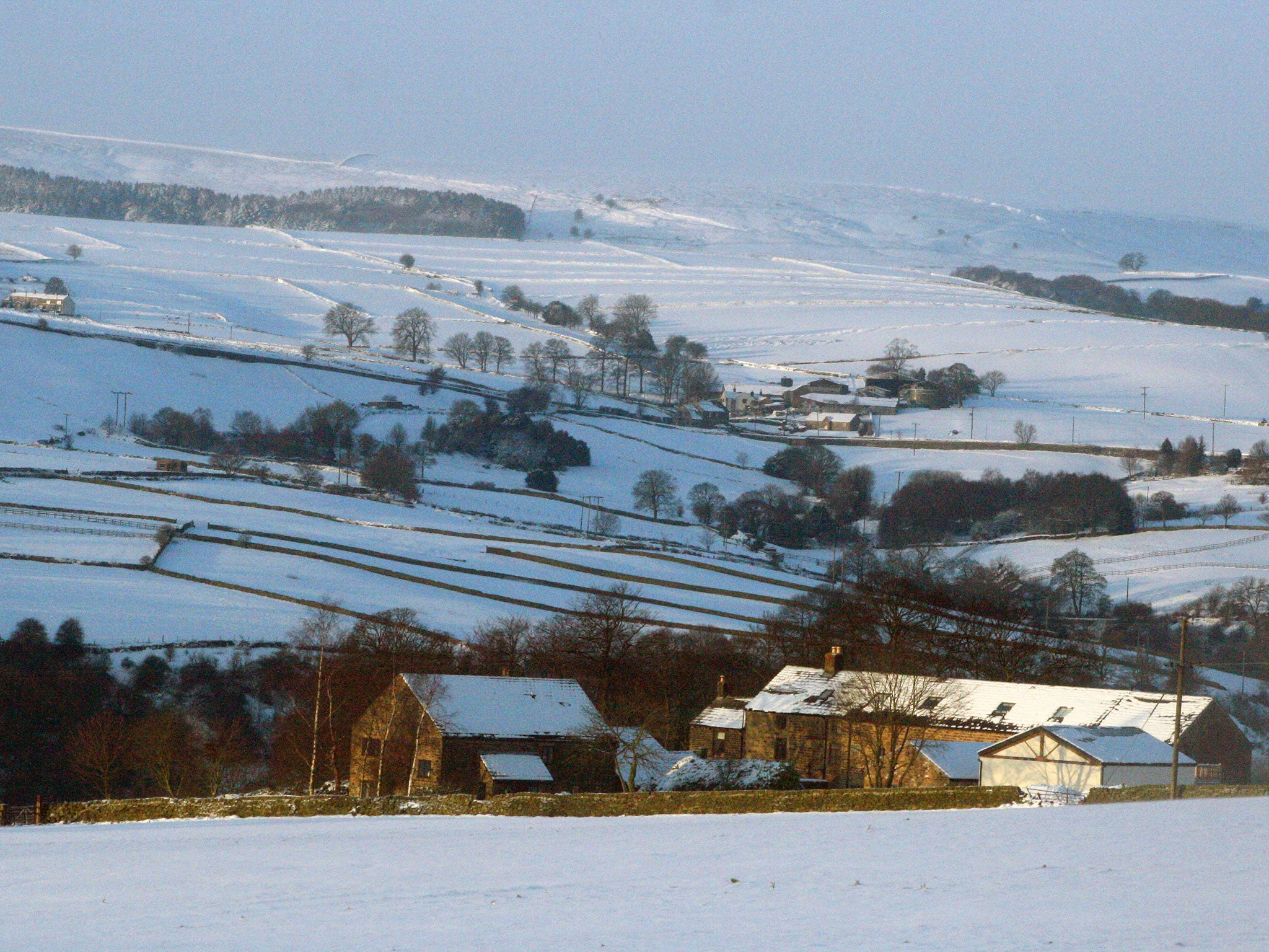
Durham Cathedral was picturesque with its white frosting, which has created a winter wonderland of frozen tree branches and snow-covered cottages in Yorkshire, Lancashire, Cumbria, Northumberland and much of Scotland and Northern Ireland.
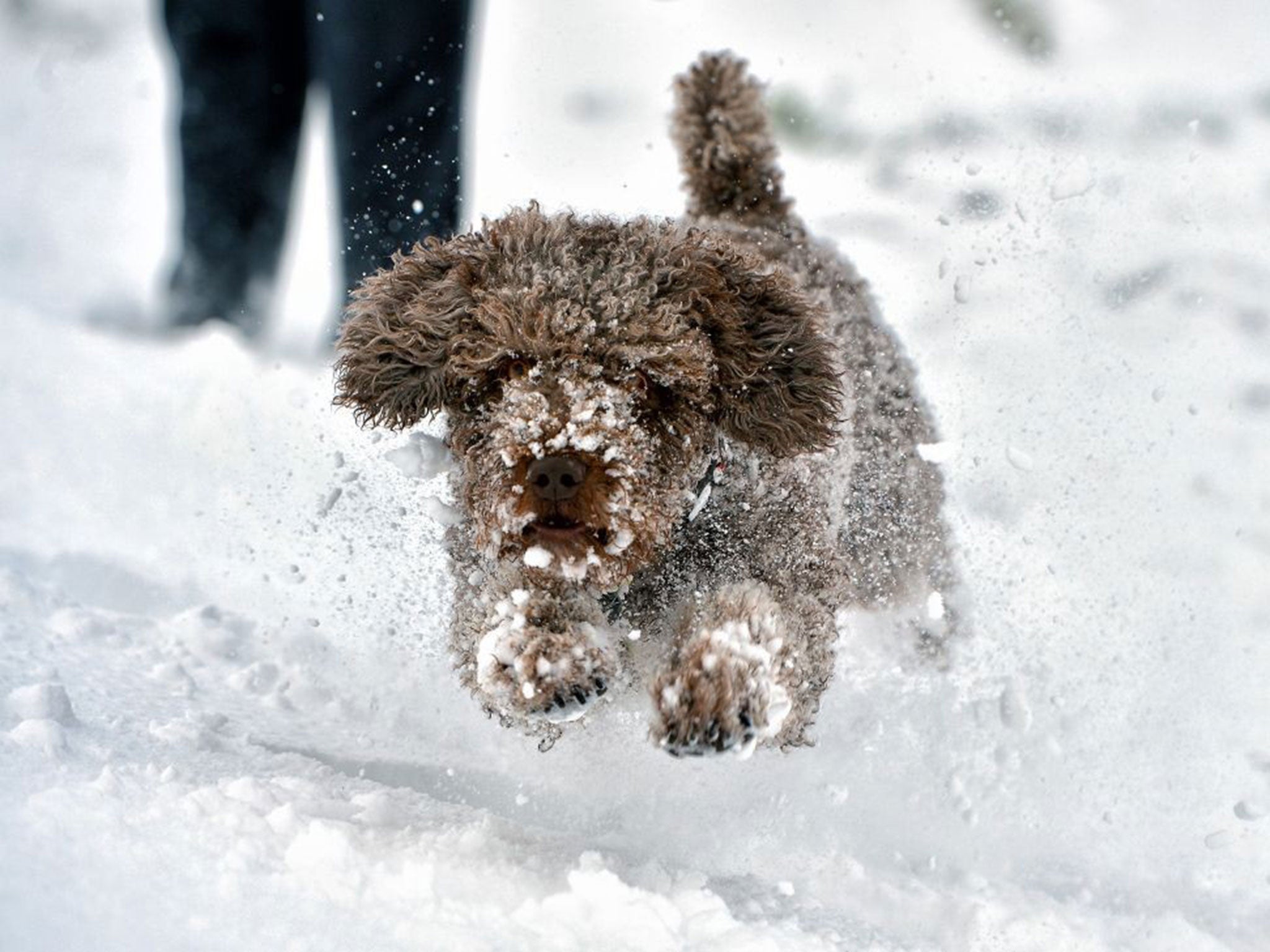
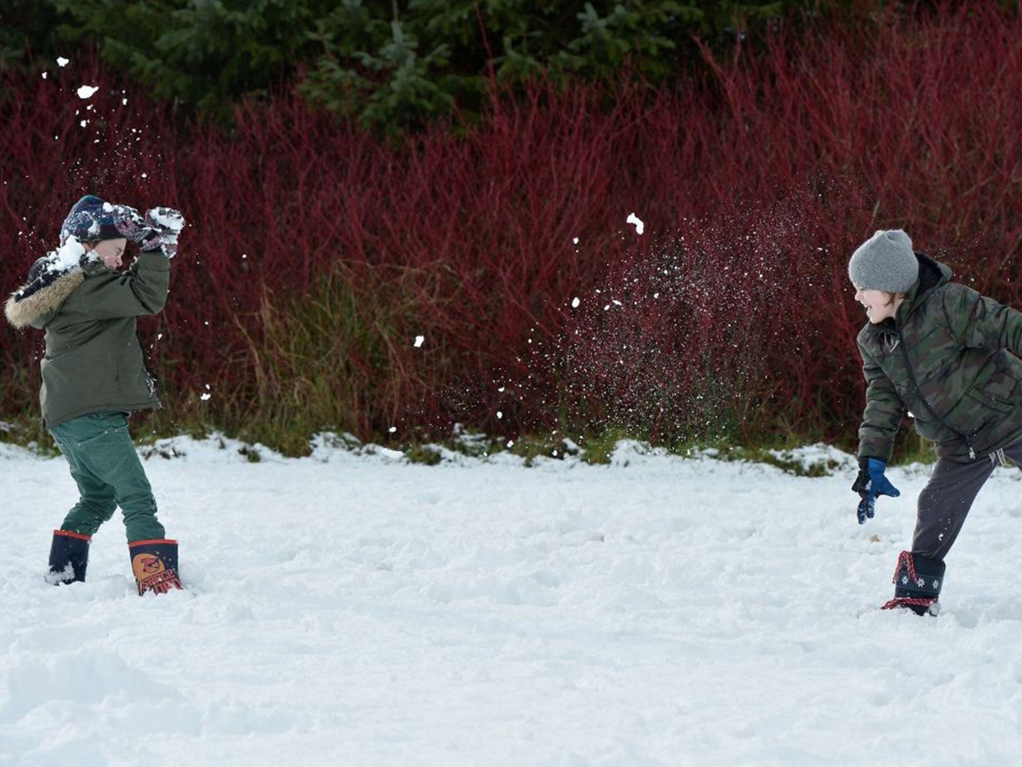
The travel disruption caused was little inconvenience to children from the 300 schools closed yesterday, who seized on the chance for snowball fights and sledging across the country.
Forecasters said that ice poses the major threat today, although some sleet and snow storms could strike.
Helen Roberts, a forecaster at the Met Office, said: “We could see some more sleet and snow coming in from the north west - the remnants of it could clip the south east and as far south as London.
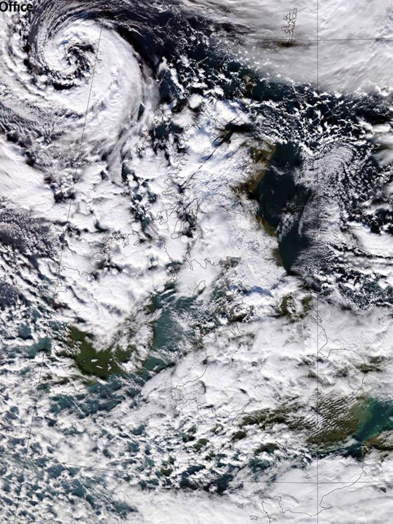
"The chances are that by the time it reaches the south it will be less intense, but there could be a light dusting of snow over those areas.
“I will imagine there will be more transport problems with the ice potentially being more of a hazard than snow.
"The strength of the wind is making things feel extremely raw."
Additional reporting by PA
Join our commenting forum
Join thought-provoking conversations, follow other Independent readers and see their replies
Comments
Bookmark popover
Removed from bookmarks